Happy New Year! I thought I'd kick-off 2016 by linking to a dynamic story map that I made using ArcGIS online to present the recent history of Flade Isblink ice cap in NE Greenland. Watch this space for future updates! .
Tuesday 12 January 2016
Subscribe to:
Posts (Atom)
View from my office window...
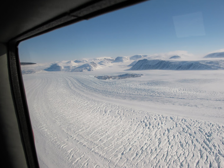
A typical view from the aircraft we're using to survey glaciers in West Greenland